

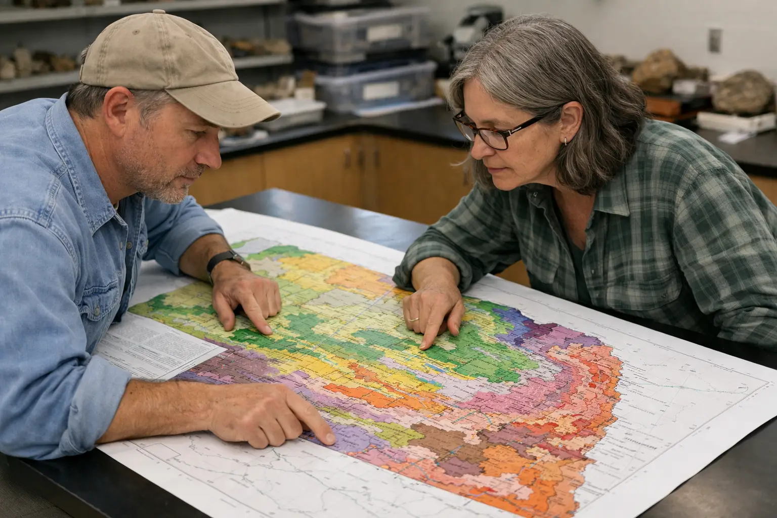
New statewide map unveiled in an academic paper authored by Paul Hanson and Matthew Joeckel presents a revised surface geologic depiction of Nebraska. The work was produced through the Conservation and Survey Division of the University of Nebraska–Lincoln’s School of Natural Resources, and outlines changes to mapping detail and boundaries at the statewide scale.
The paper documents a systematic update of surface units and map linework that brings together regional field studies, existing county maps and compiled datasets into a single statewide representation. The revised map refines the limits of surficial deposits and bedrock exposures at the land surface and standardizes mapping conventions across jurisdictional boundaries, making it easier to compare materials and features from one area of the state to another.
Statewide surface geologic maps are used widely by land managers, engineers, water resource planners and researchers. The updated depiction provides a clearer baseline for interpreting groundwater recharge areas, identifying potential soil and slope concerns, and informing siting decisions for infrastructure and agriculture. By consolidating disparate sources into a unified graphic and accompanying documentation, the new map supports a range of practical applications in geology and natural-resource management.
Authors and the hosting division frame the map as a reference intended to support ongoing study and operational use across agencies and the research community. As a synthesized statewide product, it offers a common starting point for more detailed local studies, geospatial integration and future revisions as new field data and analyses become available.


