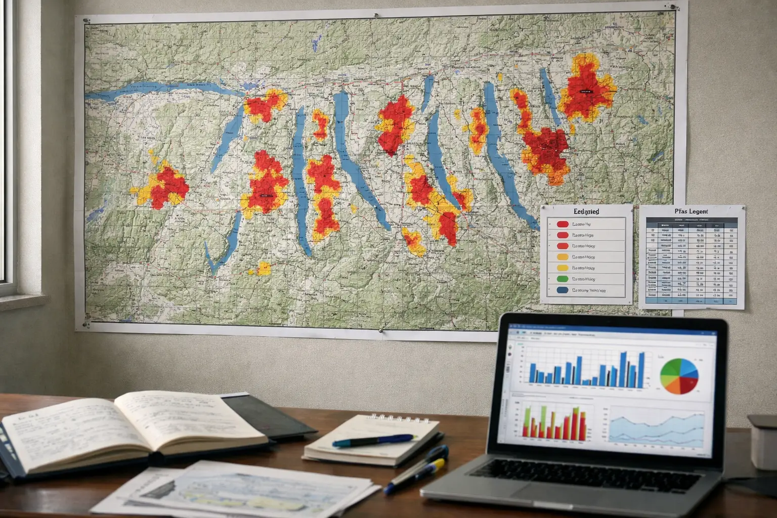
First in-depth map of contamination in the Finger Lakes region has been produced following a surge of public inquiries in 2023. Residents contacted Damian Helbling after the EPA announced new limits on per- and polyfluoroalkyl substances. The initiative sought to assemble available measurements from ponds, lakes, streams and creeks to give communities a clearer picture of where these so-called “forever chemicals” have been detected.
The substances in question, commonly referred to as PFAS, are a broad class of synthetic compounds known for their persistence in the environment. Health authorities have linked certain PFAS to increased risks of some cancers and other adverse effects, which has driven recent regulatory attention and public concern. The federal action on drinking-water levels prompted local demand for more granular information about surface-water presence in the Finger Lakes watershed.
The map compiles existing monitoring data to identify patterns and gaps in knowledge rather than to present new laboratory results. By bringing disparate samples together in a single reference, the work aims to help local officials, researchers and residents prioritize where additional testing and mitigation efforts are most needed. Planners and water managers can use the baseline to coordinate future sampling campaigns and to align local responses with broader regulatory standards.
Its creators describe the effort as an early step toward systematic surveillance of PFAS in the region’s aquatic systems. The synthesis establishes a reference point that can be updated as new measurements become available and as agencies refine testing approaches. In the wake of federal regulation, stakeholders across the Finger Lakes face decisions about monitoring priorities, funding and public communication as they seek to address a persistent contaminant that crosses municipal and watershed boundaries.